Find loot without wasting a crossing
A DayZ Badlands loot map helps you choose a useful destination before spending scarce water crossing Nasdara. For item searches, start with WOBO’s Nasdara map; for measuring travel and sharing coordinates, a terrain map can handle the navigation. Neither guarantees that an item will be waiting when you arrive.
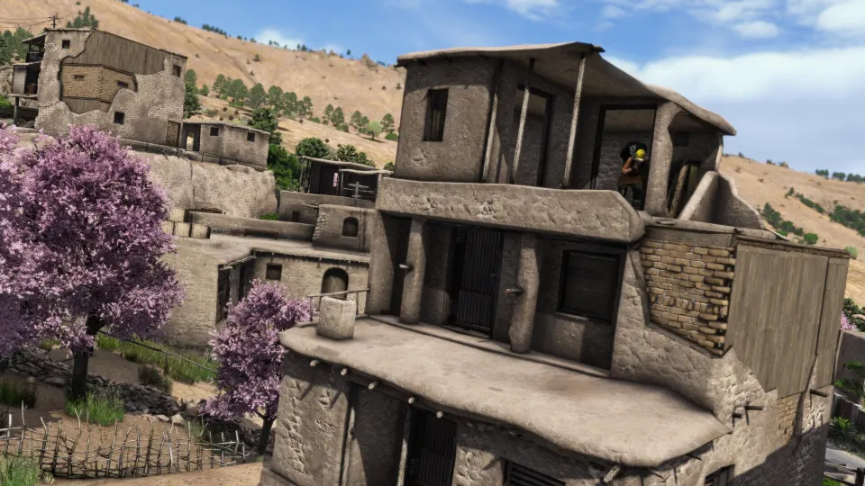
Badlands takes place in Nasdara Province, an inland, arid region with cities, abandoned military facilities, historical sites, and oil infrastructure. Highways run east to west, linking areas across a landscape that shifts from eastern sands toward western mountains. Water and resource scarcity make the distance between stops part of every loot decision. DayZ Wiki
The terrain is described as 267 square kilometers. Survival Servers measures the square game world at 16.38 kilometers per side, approximately 268 square kilometers. Those figures describe slightly different measurements; neither provides a loot-tier boundary.
Choose the right Nasdara map
The available maps serve different purposes. Select Nasdara when a tool offers several terrains, then check whether you are viewing item information, navigation imagery, or your own markers.
| Map tool | Useful features | Access or coverage limit |
|---|---|---|
| WOBO Nasdara map | Building and item search, loot visualization, tracking, coordinates, and custom pins | Its Nasdara 1.30 notice says loot data is being tested, with early access through login; heatmaps and bubbles require membership |
| iZurvive Nasdara Satellite | A satellite map specifically for Nasdara | The satellite view alone does not establish item spawn locations |
| Survival Servers Badlands map | Satellite and paper views, grid searches, distance measurements, and shareable pins | It explicitly has no loot overlay |
WOBO is the most relevant starting point when you know which item you need. Its building search also helps narrow a search to particular structures instead of treating an entire settlement as one destination.
Survival Servers is useful when you already have a location and need to reach it. Its paper view includes printed place names, while its page notes that Badlands’ locked name list limits place-name searching. Enter a grid reference when a text search cannot identify your destination.
Read loot markers correctly
WOBO’s loot displays answer different questions. A heatmap highlights relative concentrations, bubbles describe spawn-point density, and the tracker combines searches for several items. These are guides to possible loot locations, not a live inventory of the server.
| WOBO feature | What it represents | Practical use |
|---|---|---|
| Loot Heatmaps | Areas with relatively more or fewer appearances of a selected item | Compare broad search areas; red indicates more and blue fewer |
| Loot Bubbles | The number of relevant spawn points within an area | Inspect clusters and select points for names, coordinates, and spawn-chance information |
| Loot Tracker | Known spawn points for items on a custom list | Search for several supplies together and control each item’s color and visibility |
Bubble data can include items attached to other objects and items inside clothing or containers. A marked point therefore does not necessarily mean the item appears loose on the ground.
Spawn-chance labels run from extremely low likelihood toward near certainty. Treat them as estimates for the mapped spawn, rather than a promise about your next visit. Dense clusters give you more locations to investigate, but they do not establish that every marked item is currently present.
For a focused search:
- Add the items you need to the Loot Tracker.
- Give each item a distinct color.
- Hide individual items when their markers obscure the immediate objective.
- Select a point to inspect which tracked item belongs there.
- Restore hidden items when planning the next leg.
The tracker saves its list, colors, and visibility settings automatically. Hide All temporarily removes markers from view; Clear All removes the tracked list. Use the former when you simply need an unobstructed map.
Military areas and reported loot
Early player reports provide places to investigate, but they do not establish a complete Nasdara loot-tier map. The Badlands high-loot discussion includes mixed results from military sites, a road convoy, and a gas zone.
| Area described by players | Reported result | How to interpret it |
|---|---|---|
| Military site northwest of Nasdara | One player described finding their only decent loot there | A broad lead without exact coordinates or an item list |
| Far southwestern military locations, west of the gas zone along the highway | AK-74 rifles and 5.56 SCAR rifles | An anecdotal search area, not a guaranteed weapon route |
| Gas zone discussed with the southwestern area | Night-vision goggles and a plate carrier | A reported find; exclusive availability there has not been officially confirmed |
| Eastern airfield and a convoy farther south along the main road | Disappointing airfield loot, followed by a UMP at the convoy | Separate locations with different reported outcomes |
| Missile base at the far western edge | Mostly lower-tier weapons in one account | Distance west alone does not establish better loot |
The eastern airfield’s classification as Tier 1 was a commenter’s guess. It should not be treated as a verified tier boundary. Similarly, one unsuccessful visit to the western missile base cannot establish its full loot pool.
The discussion also asks about a palace associated with high-tier loot, but does not identify it. A name or coordinate for that reported palace has not been officially confirmed. Avoid building a route around an unidentified landmark.
Use these reports to choose areas for closer map inspection. Then look for mapped spawn information for your actual target item. Server configuration matters: Survival Servers notes that loot, events, and spawns depend on each server’s files. Findings from another server may therefore differ from your experience.
Plan and share a practical loot route
Start with your current position, your next useful supply stop, and one main loot objective. A route that strings together every military marker can become expensive in water and travel time. Measuring each leg makes that cost visible before you commit.
Survival Servers uses one-kilometer grid squares numbered from the upper-left corner. Its search accepts references such as 067 128, representing a position 6.7 kilometers east and 12.8 kilometers south of that corner.
| Coordinate task | Tool or control | Result |
|---|---|---|
| Find a grid position | Enter 067 128 in Survival Servers’ search | Centers the map on that reference |
| Locate an admin-log position | Paste the position entry or its first two numbers into Survival Servers | Marks the corresponding location |
| Copy WOBO map coordinates | Ctrl + C with the cursor over the point | Copies the tool’s X and Y coordinates |
| Copy in-game GPS coordinates from WOBO | Ctrl + Z with the cursor over the point | Copies coordinates intended for the in-game GPS receiver |
Do not assume WOBO’s map coordinates and GPS coordinates are interchangeable. Use the matching copy command and tell teammates which format you are sharing.
A manageable planning sequence is:
- Locate yourself. Match a readable landmark or coordinate before selecting a distant destination.
- Choose a specific objective. Search for the required item or inspect a reported area.
- Check water stops. Badlands includes repairable wells, so a well location alone does not establish that it is usable.
- Measure the route. On Survival Servers, select the distance tool and click along the intended path to see individual legs and the total.
- Mark a fallback. Add another search location if the first stop is unproductive.
- Share the plan. Send a map link with the destination and relevant pins.
WOBO supports up to 100 shared custom pins. Opening its share link can reproduce the displayed map view, although some layers require membership. When viewing someone else’s pins, Save as My Pins replaces your existing custom pins; Show My Pins returns to your original set.
FAQ
Where can I find a dayz badlands loot map?
Open WOBO’s Nasdara map for item searches and loot tools. Its Nasdara 1.30 notice places the loot data in testing with login-based early access. Heatmaps and loot bubbles are member features.
Is there a free map with grid coordinates?
Yes. The Survival Servers Badlands map provides free satellite and paper views, grid searches, distance measurement, and pins. It is a navigation map and does not display loot spawns.
Where should I look for high-tier equipment?
Players report rifles in the far southwest and night-vision goggles and a plate carrier in a gas zone. These are anecdotal finds. Check item-specific map data where available, and avoid treating an entire region as a guaranteed high-tier destination.
Are plate carriers only found in the gas zone?
That restriction has not been officially confirmed. The player who reported a plate carrier there also acknowledged that finding none elsewhere could have been bad luck.
Why does the map disagree with what I find?
Mapped spawn information describes possibilities. Server settings can change loot, events, and spawns, while WOBO’s Nasdara data is identified as undergoing testing. Confirm that you selected Nasdara and read the tool’s access and version notices before relying on a route.